tecznotes
Michal Migurski's notebook, listening post, and soapbox. Subscribe to ![]() this blog.
Check out the rest of my site as well.
this blog.
Check out the rest of my site as well.
Apr 9, 2012 6:02am
chicago-bound
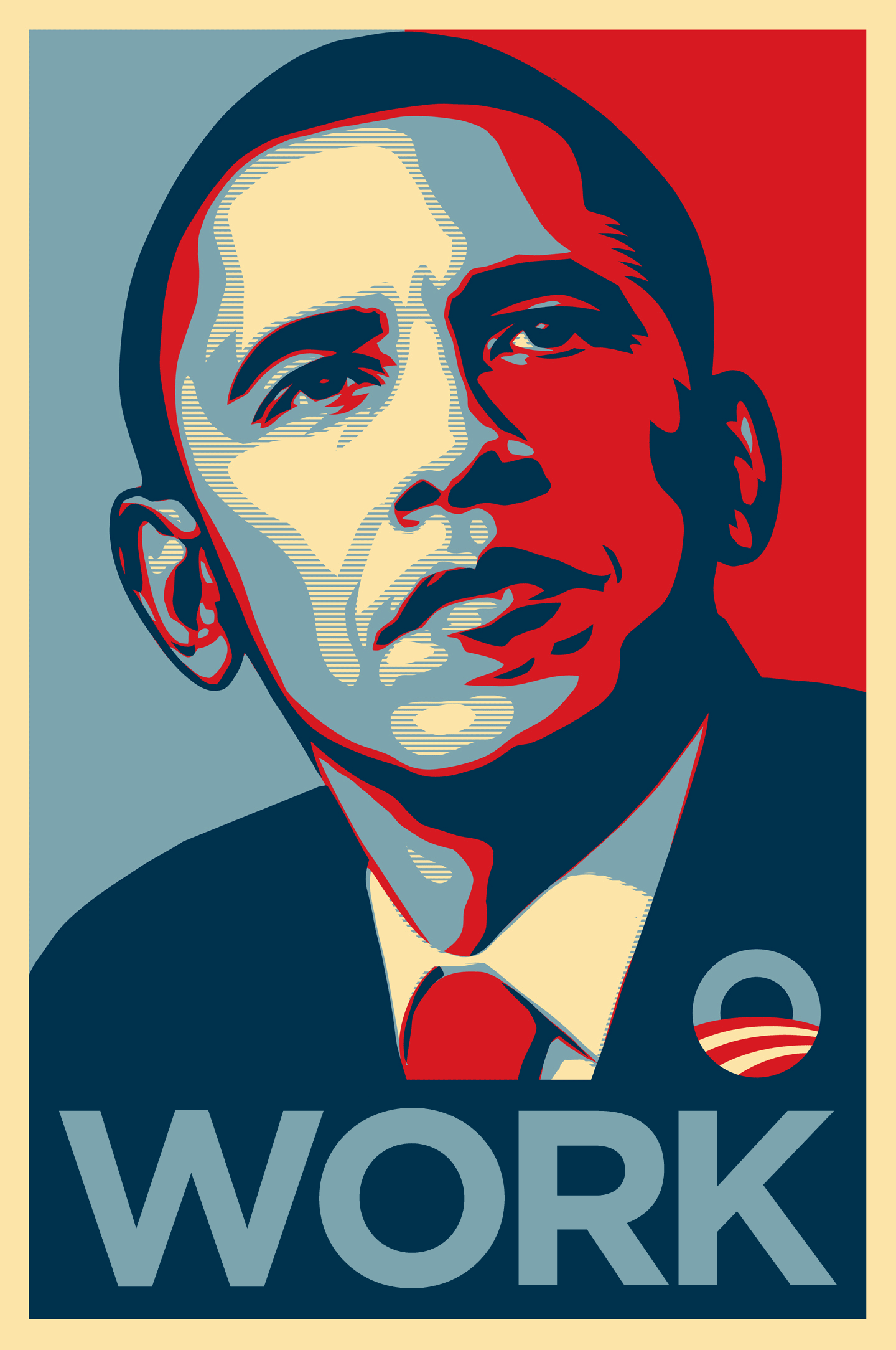
Next weekend, I’m heading to Chicago to spend a week volunteering for the Obama 2012 campaign’s tech team. I’m very excited; it should be a fairly high pressure environment and I hope to have a number of opportunities to bring a bit of API design and basemap cartography love from San Francisco.
This election feels intuitively like the one that matters, the one where we prove that the past four years weren’t just a reactionary fluke. We had a round of flowers and sunshine last time around, but the President wasn’t running on much of a record. In 2012, he’s been in office for a full term, and a lot of people who were hoping to see a 180° turnaround from the Bush years were disappointed to discover that ours is a rough political landscape to navigate. Given the circumstances, I think Obama’s done a great job. Given the risk that supporters from 2008 might not be so excited this time around, I’m putting in extra energy to help assure that we can push this not-at-all-guaranteed election over the hump.
If you’re local to San Francisco and want to help, Catherine and Angus at the SF technology field office in SOMA are looking for your help.
subscribe to ![]() this site.
|
contact Michal Migurski
this site.
|
contact Michal Migurski